Science challenge
Whilst the UK has a long history and well-established tradition of monitoring meteorological and hydrometeorological variables, soil moisture (SM) has until recently been difficult to measure cost-effectively and at a scale appropriate to many applications. An understanding of real-time SM is crucial in flood forecasting, drought management, land-use planning, agricultural development and water resource development. COSMOS-UK bridges the spatial gap between small and large-area sensors, providing accurate SM information for input into models as well as informing local planning.
Project summary
Established in 2013, the COSMOS-UK project currently operates a network of over 50 stations installed across the UK. The project is still developing in terms of the network and services offered to users.
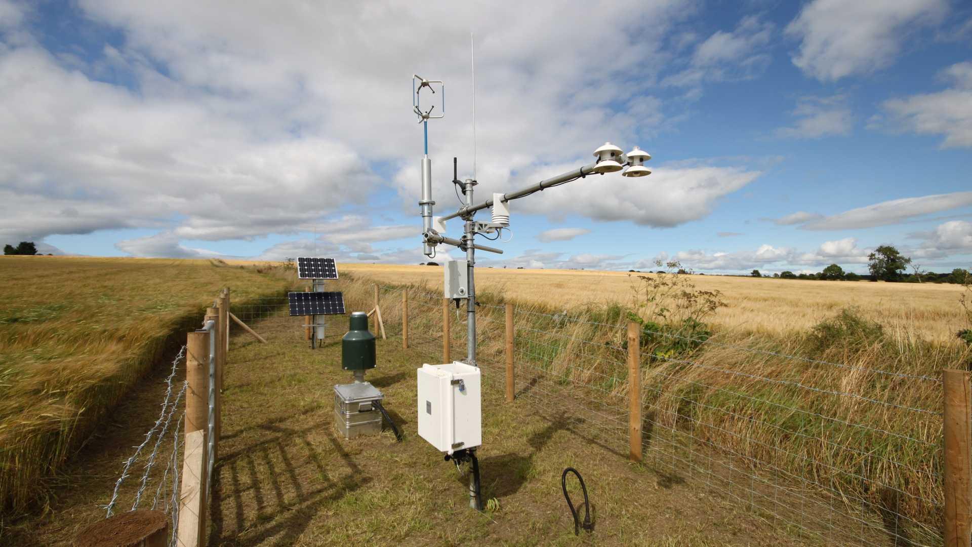
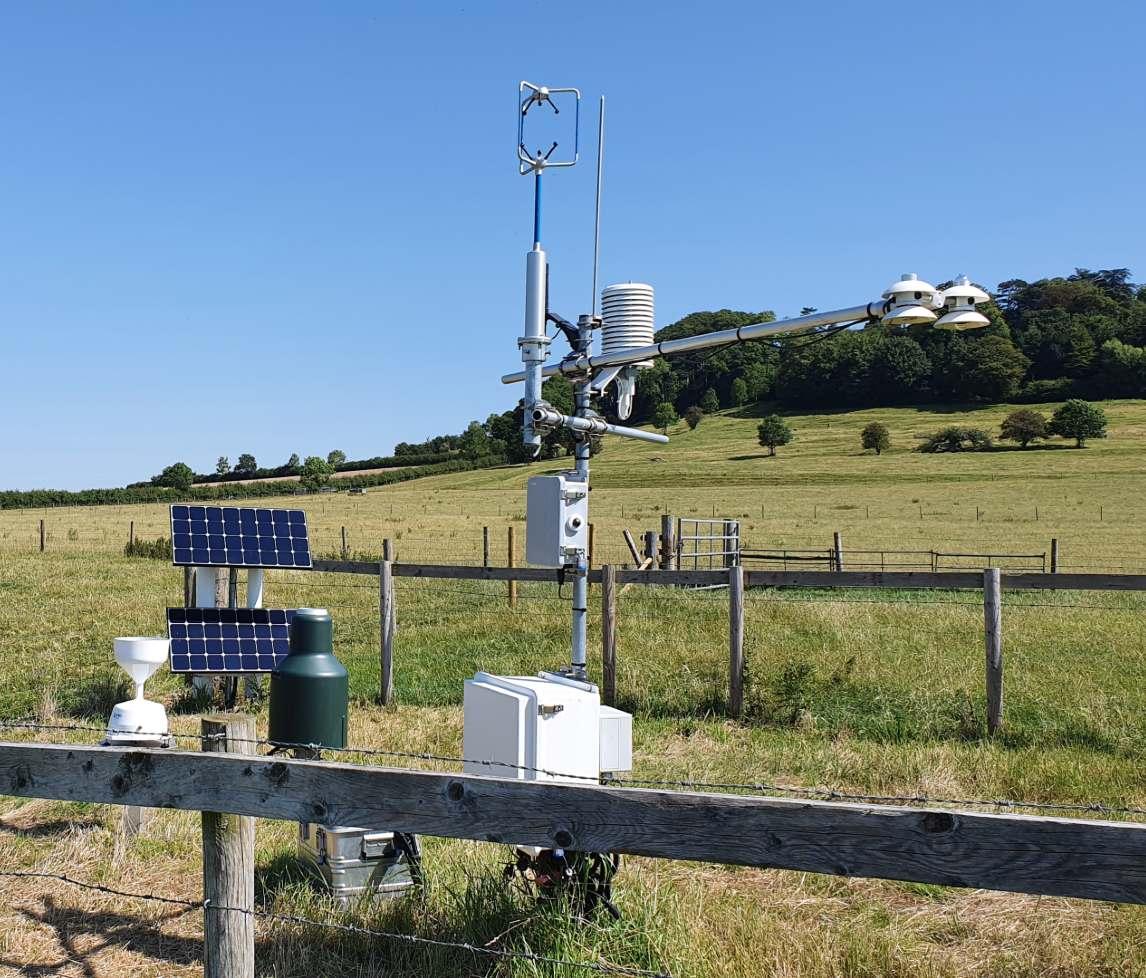
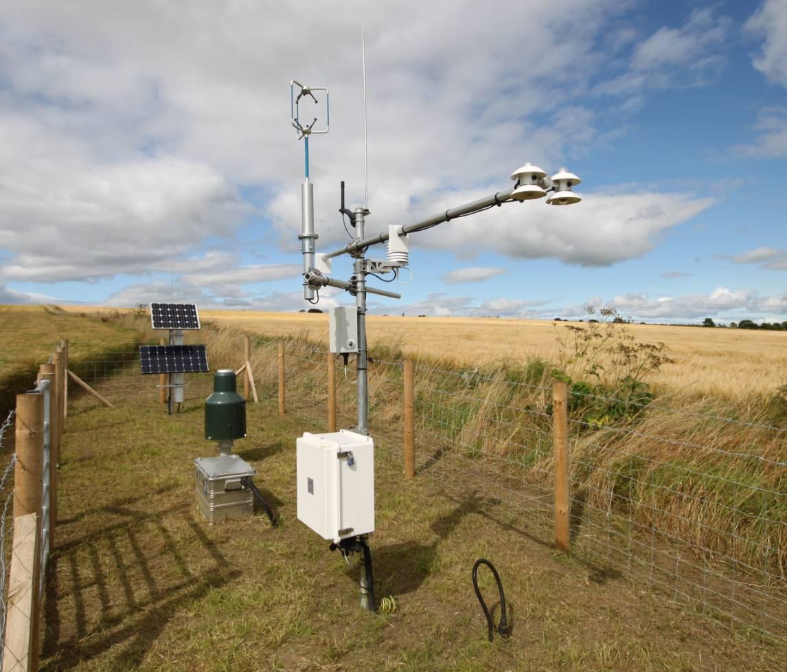
The primary purpose of the COSMOS-UK project is to deliver soil moisture data in near-real time across the UK. The innovation provided by COSMOS-UK comes from the use of a sensor that exploits cosmic-rays to measure soil moisture over an area of about 12 hectares. The sensor sits above ground and operates automatically to deliver data from remote sites. This contrasts with other sensors that are intrusive, effectively point-scale, or require an on-site operator.
It is anticipated that publicly accessible real-time data will empower all kinds of applied environmental research: more accurate meteorological models; better water resource information of current and future conditions; increased resilience to natural hazards, for example by earlier flood warnings; improved water use efficiency in crop production and give better crop yield forecasts. It will enable a step change in fundamental science, particularly meteorological predictability associated with soil moisture, and better models of greenhouse gas emissions from soils.
The project is supported by the Natural Environment Research Council award number NE/R016429/1 as part of the UK-SCAPE programme delivering National Capability.


