Meteorological monitoring at ECN Moor House
UK Environmental Change Network (ECN)

Science challenge

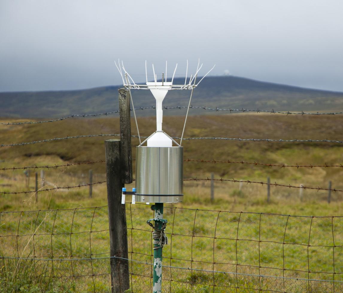
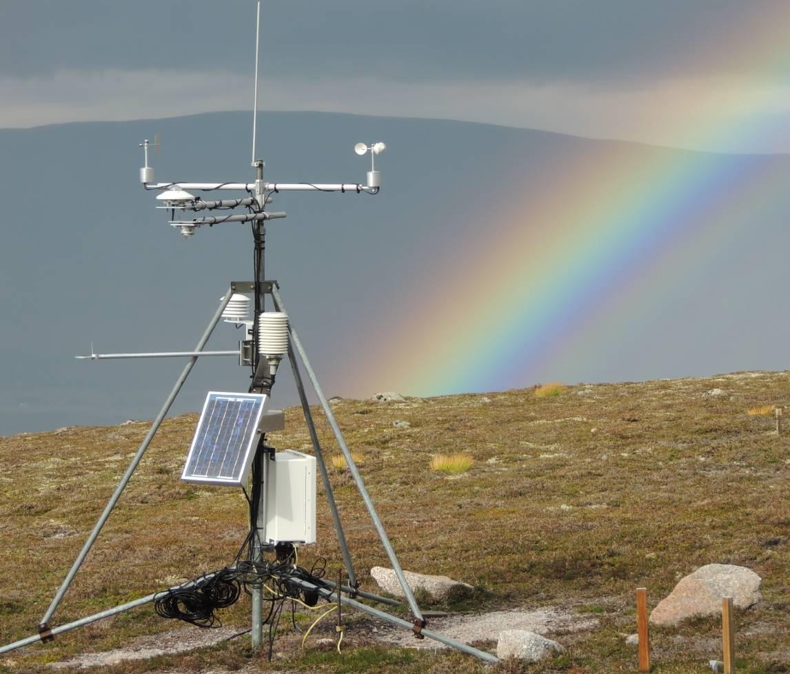
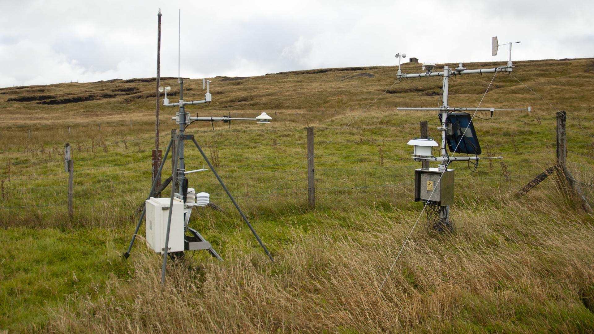
Researchers, conservationists and decision-makers have long recognised the importance of understanding processes that determine how ecosystems function, how and why they may be changing, and how resilient they are to both short-term and more sustained disturbances. This need is served through a continuously evolving scientific understanding founded on inter-dependent disciplines of repeated observation, controlled experiments and process-based and mathematical modelling. The UK Environmental Change Network was established in 1992 as a network of instrumented sites spanning a wide range of ecosystems at which sustained long-term observations of selected physical, chemical and biological variables are made according to tightly defined protocols. It is one component of range of increasingly integrated activities and infrastructures that aim to better understand the nature, causes and consequences of environmental change.

Project summary

The Environmental Change Network supports the detection, interpretation and forecasting of environmental change and its impacts on soils, waters and biodiversity in a wide range of terrestrial and freshwater habitats. It is the only UK network making relatively high frequency measurements of key physical, chemical and biological elements of the terrestrial natural environment in close proximity, and is providing unique insights into fine-scale variation and change, and driver-response relationships. As such, it provides a unique contribution to the UK’s wider environmental change evidence base for terrestrial systems that also comprises more spatially extensive but less temporally intensive national surveys and citizen science monitoring. ECN datasets - many of which span over two decades - are published regularly under an Open Government Licence. Measurements and site maintenance are sponsored by several UK institutes and agencies. For a period of time, ECN also included a freshwater component. Whilst data from these sites are no longer incorporated into the central ECN database, many freshwater sites are still routinely monitored and data are held by the monitoring organisations involved.

UKCEH's UK-SCAPE Programme enables UKCEH to coordinate the wider ECN network, openly publish ECN datasets and operate three ECN terrestrial sites (Moor House, Wytham and Cairngorm). UK-SCAPE also allows us to integrate observations across a range of programmes in innovative ways to maximise their collective scientific value. ECN Central Coordination Unit staff at UKCEH work with other UKCEH staff involved across UK-SCAPE, the wider terrestrial and freshwater sciences community and the policy community, to maximise the scientific value of ECN’s datasets.

The Environmental Change Network is the UK's formal Long-Term Ecosystem Research (LTER) network: it is a member of the International Long-Term Ecological Research network, ILTER, and of ILTER's regional European community, eLTER. These connections, coupled with ECN's extensive database, have enabled experts in UKCEH to play a leading role in environmental informatics associated with long-term ecosystem data, as well as in the joint development of eLTER RI, the European Long-Term Ecosystem, critical zone and socio-ecological Research Infrastructure.

Objectives

  1. To maintain collection and publication of ECN's most scientifically valuable environmental and ecological time series data
  2. To aid in the scientific understanding of the processes influencing changes in soils, waters and biodiversity and the services they provide to ecosystems and society
  3. To harmonise and integrate key datasets with other monitoring and survey data collected under UKSCAPE and by partner organisations, nationally and internationally.

Resources

Papers and outputs

Data

Research facilities

  • UKCEH operates three of the 11 terrestrial ECN sites: Moor House-Upper Teesdale, Cairngorms and Wytham.

Interactions

UK-SCAPE allows us to integrate observations across a range of programmes in innovative ways to maximise their collective scientific value. ECN Central Coordination Unit staff at UKCEH work with other UKCEH staff involved across UK-SCAPE, the wider terrestrial and freshwater sciences community and the policy community, to maximise the scientific value of ECN’s datasets.

UKCEH National Capability

  • ECN is fully embedded in the UK-SCAPE WP1 programme delivering long-term, large scale monitoring, and particularly with respect to the development of a Virtual Survey Laboratory (VSL). ECN is one of very few sources of long and frequently measured physical, chemical and biological time series that can be incorporated within data integration steps required to populate the VSL
  • Co-located measurements can be used to test down-scaled modelling outputs that are subsequently required for other UK-SCAPE Work Packages (particularly SPEED), and to provide realistic measures of uncertainty in survey data associated with between-year variation
  • Linked weather, deposition, soil and vegetation datasets from ECN coupled with data from UK-SCAPE's rolling field survey provide the potential to explore regional-scale drivers of vegetation change (e.g. air pollution and climate) over recent decades at a national scale, and thus also provide counterfactual information for assessment of the influence of local effects driven by environmental management.

UKCEH Co-aligned Research

  • ECN is central to the UKCEH-Defra Memorandum of Agreement (MoA) aligned project “Integrating environmental change monitoring data across scales to support policy development and implementation”
  • The current MoA project, co-funded by Defra, focusses on harmonising and integrating long-term monitoring, survey and Earth Observation data, and includes a case-study that aims to disentangle effects of regional and local drivers of change in a range of vegetation indicators that are being developed to provide evidence for Defra’s 25 Year Environment Plan
  • ECN soil and vegetation data are making a central contribution to national reporting on air pollution effects on ecosystems under UK National Emissions Ceilings Regulations - a process managed by UKCEH’s UK APIENS project supported by Defra
  • ECN sites, both those managed by UKCEH and by other partners, make a number of vital contributions to other networks including PrecipNet, the Acid Gases network, Carbon catchments and COSMOS, in addition to other national biodiversity networks including the Rothamsted Insect Survey and the Butterfly Monitoring Scheme. The ECN website has details of how ECN contributes to a range of monitoring initiatives.

Partnerships

  • The ECN represents the UK within the eLTER (European) and ILTER (global) LTER networks, and now provides most of the UK sites incorporated within the EU H2020 eLTER-PPP Preparatory Phase Project and the eLTER-PLUS Advanced Communities project (two 5 year projects). UKCEH is making a major contribution to these projects, particularly through the joint development of eLTER’s data systems and to support a biogeochemical case-study (led by UKCEH)
  • The PPP project is focussed on developing eLTER RI, a European Research Infrastructure for site-based ecosystem research, which has a network of long-term ecological research sites at its heart. ECN sites and their datasets have been repeatedly used by the eLTER partnership as exemplars for future development of the network
  • ECN data management will benefit from eLTER project support for virtual data access. UKCEH’s ECN sites are also included as eLTER Transnational and Remote Access sites, offering support for scientists.

Project lead - Don Monteith