Landscape of fields, trees and hedgerows
UKCEH Countryside Survey

Science challenge

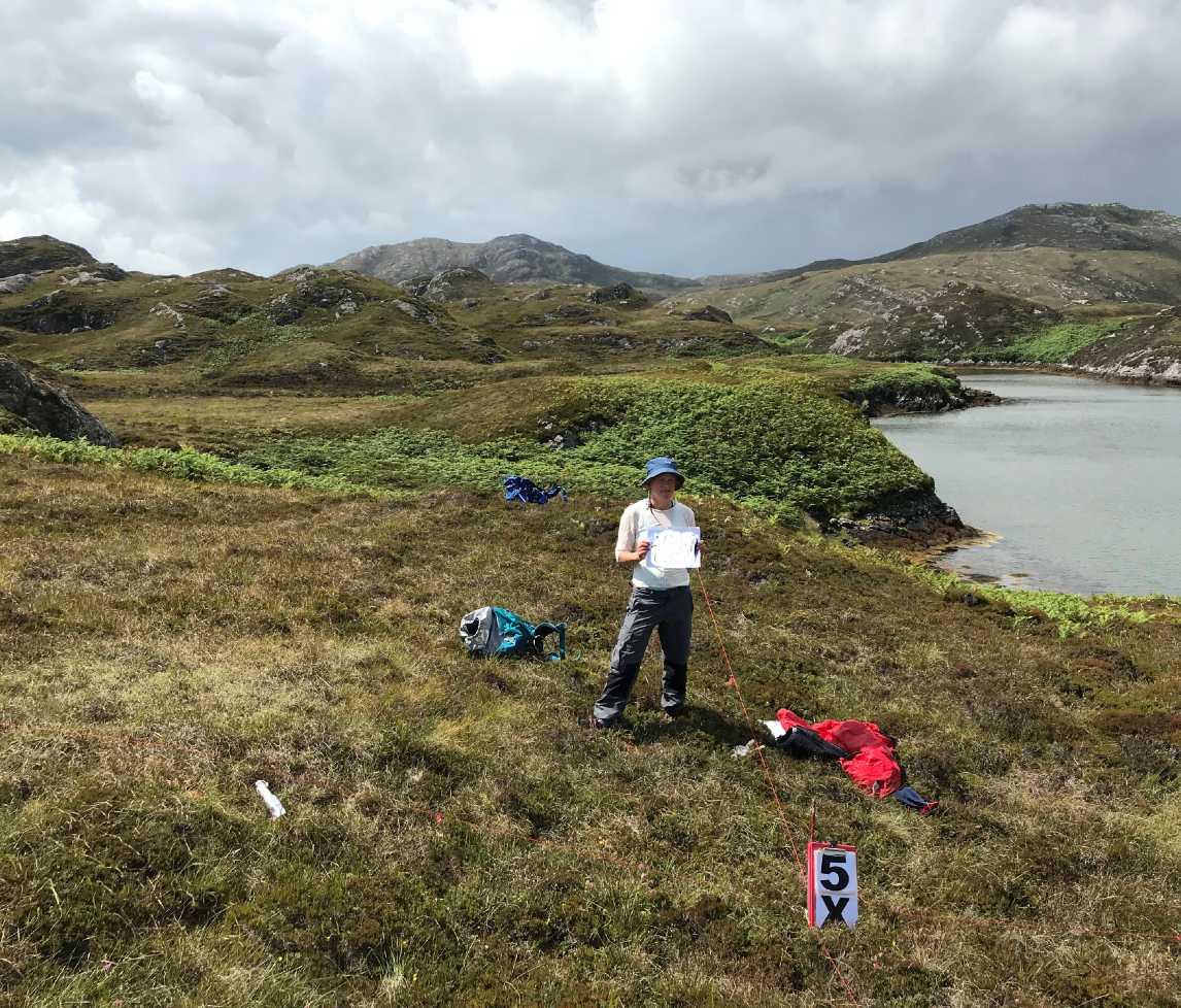
To understand how the plant-soil-system responds to climate, land use change and other drivers at a national scale requires repeated, long-term co-located measurements of vegetation and soils in the wider countryside. UKCEH Countryside Survey is unique in surveying a representative sample of locations repeatedly across Great Britain, allowing us to determine both the current status of habitats and soils and how they are changing over time.

Project summary

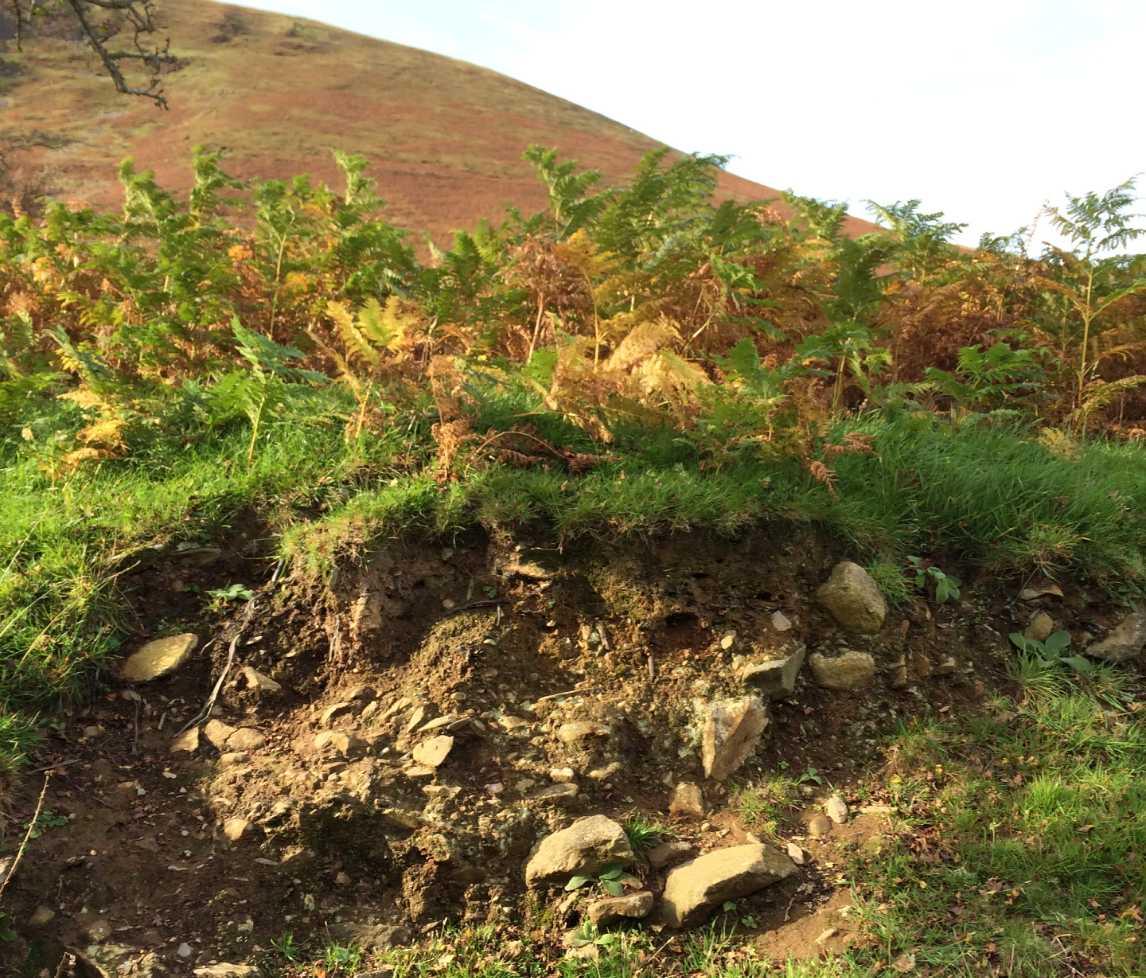
The UKCEH Countryside Survey is a globally unique audit of the soil and vegetation of Britain. It began in 1978 with further surveys in 1990, 1998 and 2007.  Since 2019 the monitoring has transformed into a NERC funded research platform based on an annual rolling programme to measure soils and vegetation that will repeat approximately every five years. This makes the programme more resilient to annual weather events such as flood and drought. Soil and plant species composition are recorded in five randomly located quadrats (recording plots) within a sample of 1km squares scattered across England, Wales and Scotland. These squares are stratified by Land Classes that divide up the land surface of Britain into areas with similar climate, geology and soils. The UKCEH Countryside Survey provides vital ground-truthing data for earth observations and is the only source of national data on changes in soil condition since 2007.

Objectives

  • To extend the globally unique UKCEH Countryside Survey time series of large-scale, long-term, finely resolved measurements of vegetation and soils by operating a rolling survey programme within a representative sample of 1 km squares across GB, collecting data on vegetation and soils and repeating approximately every five years
  • To use the CS data either alone or in combination with other data to explore the status of GB habitats and soils and how they are changing, detecting signals of global change with high realism
  • To share the quality-checked CS data widely, including delivering soil data to the World Soil Information Centre in the Netherlands
  • To provide ground-truthing data for earth observation data underpinning the UKCEH Land Cover Map
  • To use the data collected to test models of environmental drivers and their impacts on ecosystems
  • To inform environmental policymaking and land management decision-making
  • To contribute to national and international initiatives such as environmental accounting and global soil assessments.

Resources

Further information

Papers and reports

Data

UKCEH Countryside Survey will produce a number of open access datasets during the programme. These will be located on the EIDC and a preview can be found on the UK-SCAPE Data Assets Catalogue. Examples include: 

  • Jarvis, S.G.; Risser, H.; Smart, S.M.; Monteith, D.; Henrys, P.A. (2022). Gridded estimates of Ellenberg N, R, F, and L indicators for Great Britain, 1990 and 2015-2019. NERC EDS Environmental Information Data Centre. https://doi.org/10.5285/0a9900f2-8556-4487-bc13-9c2fdc05082c
  • Smart, S M, Andrews, C, Fitos, E, Garbutt, R A, Gray, A, Henrys, P A, Koblizek, E, Pallett, D W, Robinson, D A, Rose, R J, Rowe, R L, Scarlett, P, Towill, J, Wagner, M, Williams, B, Wood, C M. 2020. Vegetation plot data from the UKCEH Countryside Survey, Great Britain, 2019. NERC Environmental Information Data Centre
  • Robinson, D A, Alison, J, Andrews, C, Brentegani, M, Chetiu, N, Dart, S, Emmett, B A, Fitos, E, Garbutt, R A, Gray, A, Henrys, P A, Hunt, A, Keenan, P O, Keith A M, Koblizek, E, Lebron, I, Millani Lopes Mazzetto, J, Pallett, D W, Pereira, M G, Pinder, A, Rose, R J, Rowe, R L, Scarlett, P, Seaton, F, Smart, S M, Towill, J, Wagner, M, Williams, B, Wood, C M. 2020. Topsoil physico-chemical properties from the UKCEH Countryside Survey, Great Britain, 2019. NERC Environmental Information Data Centre. 
     

Interactions

UKCEH National Capability

  • The data recorded from the UKCEH Countryside Survey vegetation rolling program will be jointly analysed with complimentary, fine resolution vegetation data derived principally from the National Plant Monitoring Scheme (NPMS – also funded under UK-SCAPE)
  • CS data will be made more widely available via data querying and modelling tools being developed in UK-SCAPE
  • CS vegetation and soil data will be used to test and upscale models developed in the SOC-D research project within UK-SCAPE and to test new integrated analysis approaches developed in UK-SCAPE.

Project manager - Angus Garbutt

Vegetation survey - Simon Smart

Soils survey - David Robinson